According to the Los Angeles Department of Emergency Management Department, this metropolitan city is prone to “13 of 16 possible federally-identified natural threats.” The most impactful being floods, earthquakes, and fires. Each year, thousands of people lose their lives or are displaced as a result of the destruction of these natural hazards.
Source: California Governor’s Office of Emergency Services, My Hazards Geological Survey
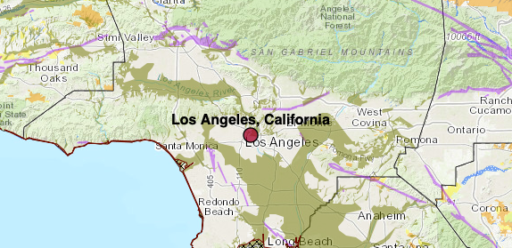
On the map above, the purple sections signify the active earthquake fault zones in the city of Los Angeles. These areas have been tagged for investigation because they pose threats of potential rupturing. Although the entire state of California is vulnerable to earthquakes, these areas are specified by state geologists to require certain infrastructure regulations. To find out if a specific property is on
Earthquakes and seismic events can cause
Liquefied soil is dangerous because it can shift buildings and other infrastructure to the point of collapsing. On the map above, the olive green areas indicate where Los Angeles has located liquefaction zones. These areas of risk include South Los Angeles, the San Fernando Valley, and Santa Clarita. Recently, four families in Santa Clarita suffered displacement as parts of their property sunk 6-8 feet into the ground. It is critical that stakeholders become aware of the liquefaction risks of their properties for the safety of themselves and their families. Although there is no form of prevention, early identification of sinking can allow time for evacuation.
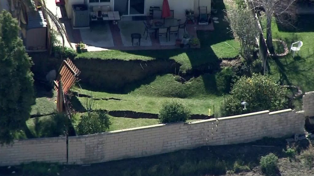
Source: KTLA 5 “4 Families Displaced as Backyards Collapse in Santa Clarita”
Whenever an earthquake occurs, the chances of a tsunami significantly increases. According to the Governor’s Office of Emergency Services, a tsunami is defined as “a sea wave generated by an earthquake, landslide, volcanic eruption, or even by a large meteor hitting the ocean.” These waves are colossal and can easily engulf a huge portion of land.
Source: California Governor’s Office of Emergency Services, My Hazards Geological Survey
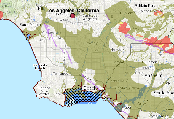
On the map above, official Tsunami Emergency Response Planning Zones are identified with cross-hatching. These generally coastal areas include Santa Monica and Long Beach. Although tsunamis in California are rare, it is still important to acknowledge the early signs since one side of the state is lined by coastal regions. Typically, after an earthquake or
Source: Los Angeles County Department of Public Works
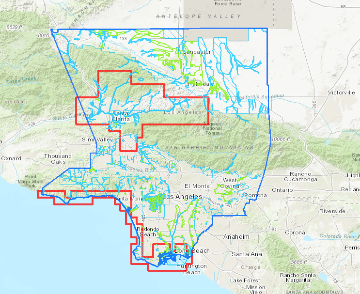
Looking at more common disasters, flooding from excessive rain and ineffective water infrastructure are some of the most significant problems in Los Angeles. On the map above, the Los Angeles Department of Public Works has identified areas subject to flood hazards, which are marked within the red boundaries. Interestingly, parts of the San Fernando Valley and Santa Clarita are blocked even though they are not near significant bodies of water. This is because their geography contains many low lying areas that quickly collect water. The most deaths that occur during flooding involve vehicles and underwater streets. Near the mountains of Santa Clarita, mudslides can completely cover the roads and put the drivers at tremendous risk as well.
Source: California Governor’s Office of Emergency Services, My Hazards Geological Survey
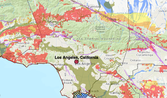
The red highlighted areas above are places with
Sources:
http://myhazards.caloes.ca.gov
https://depts.washington.edu/liquefy/html/what/what1.html
https://patch.com/california/northridge/flood-warning-issued-san-fernando-valley